Global Coverage
|
|
|
|
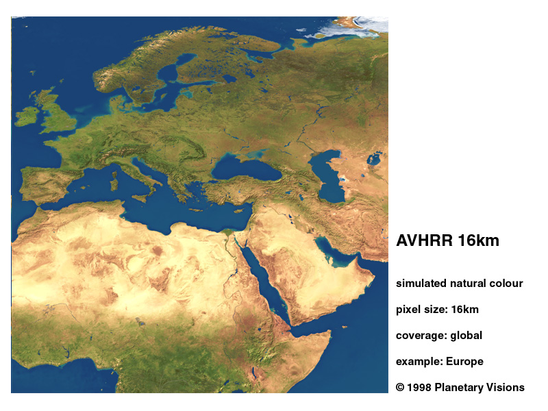
AVHRR 16km
Europe, Middle East
& North Africa |
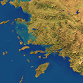
AVHRR 4km
Turkey & Black Sea |
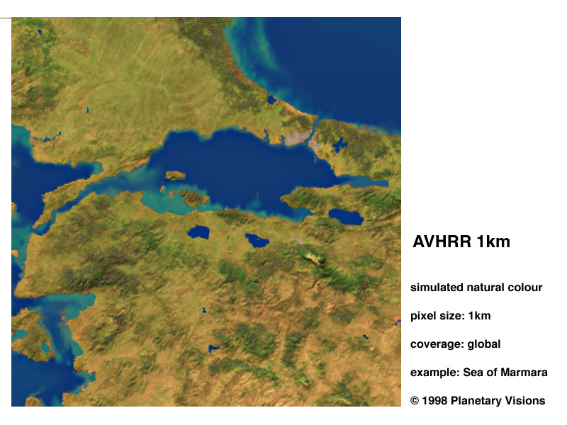
AVHRR 1km
Eastern Turkey &
The Sea of Marmara |
Moderate Resolution
|
|
|
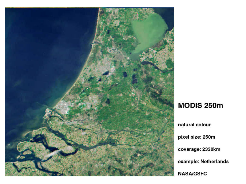
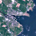
TERRA MODIS 250m
Netherlands |
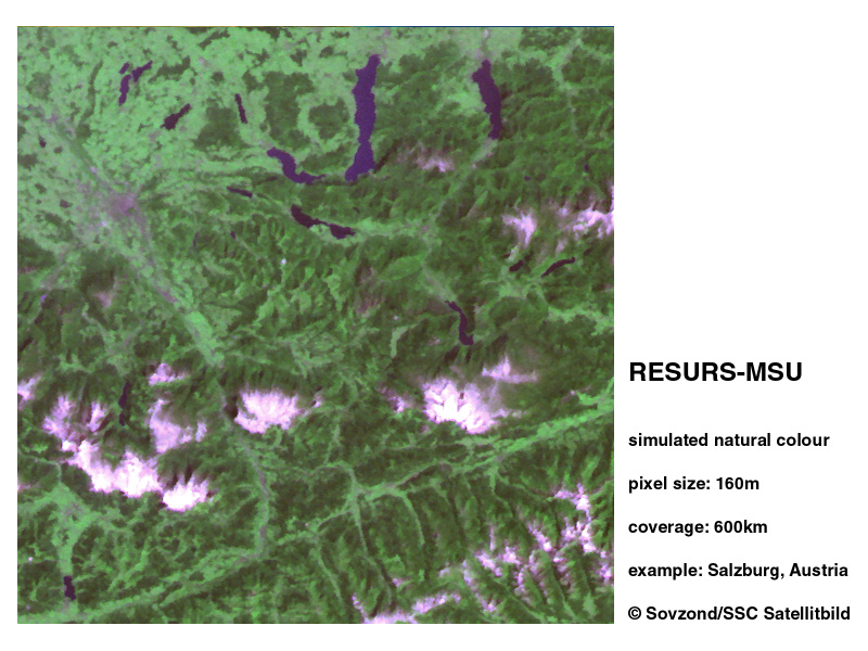
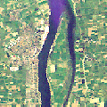
RESURS MSU 160m
Salzburg, Austria |
High Resolution
|
|
|
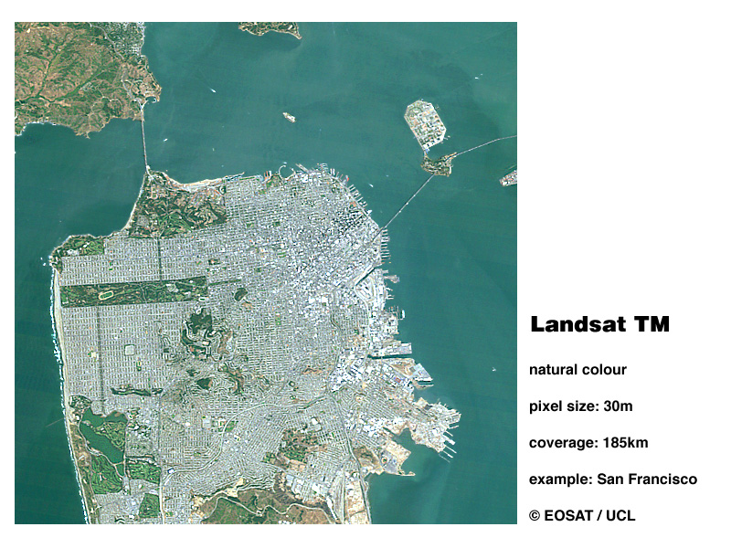
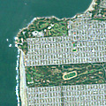
Landsat TM 30m
San Francisco, USA
|
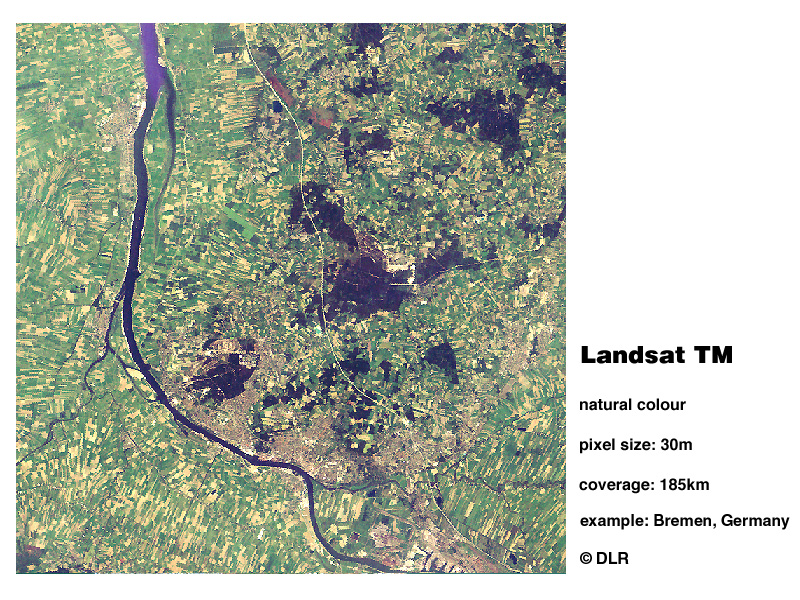
Landsat TM 30m
Bremen, Germany
|
|

|
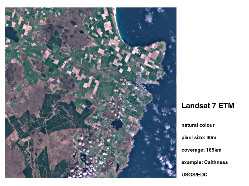
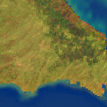
Landsat 7 ETM 30m
Caithness, Scotland |
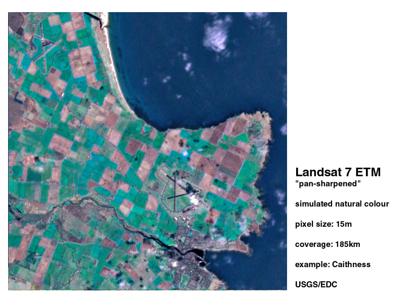
Landsat 7 ETM 15m
Caithness, Scotland |

|
|

|
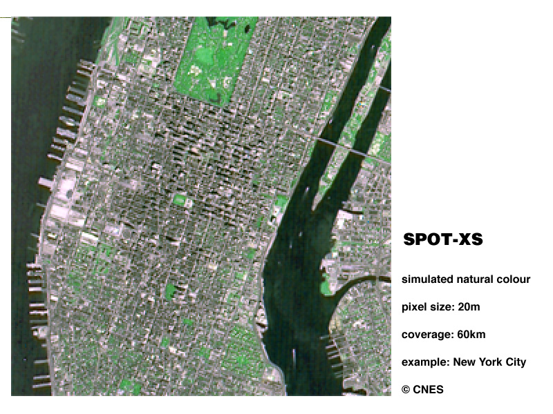
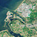
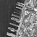
SPOT XS 20m
Manhattan,
New York City, USA |
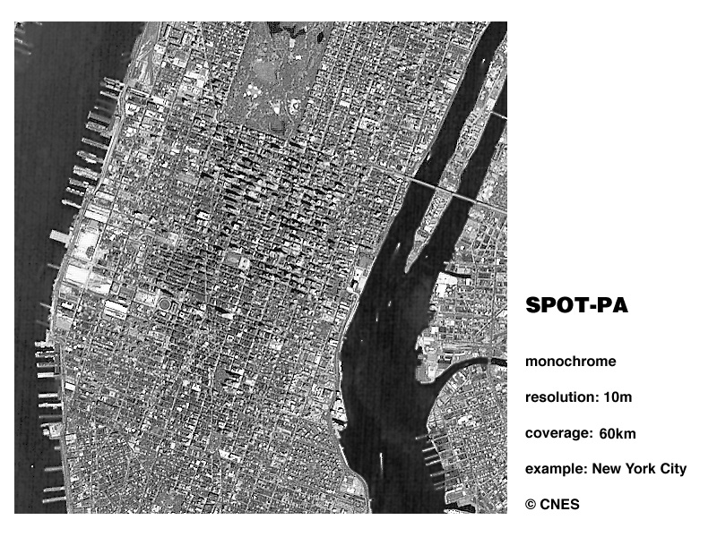
SPOT PA 10m
Manhattan,
New York City, USA |
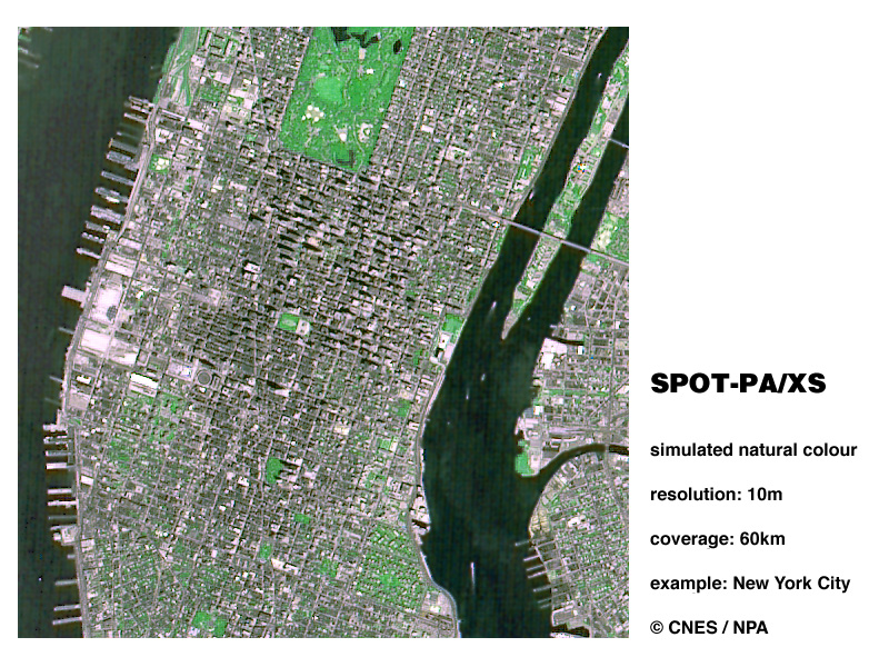
SPOT PA/XS 10m
Manhattan,
New York City, USA |
Ultra-High Resolution
|
|
|
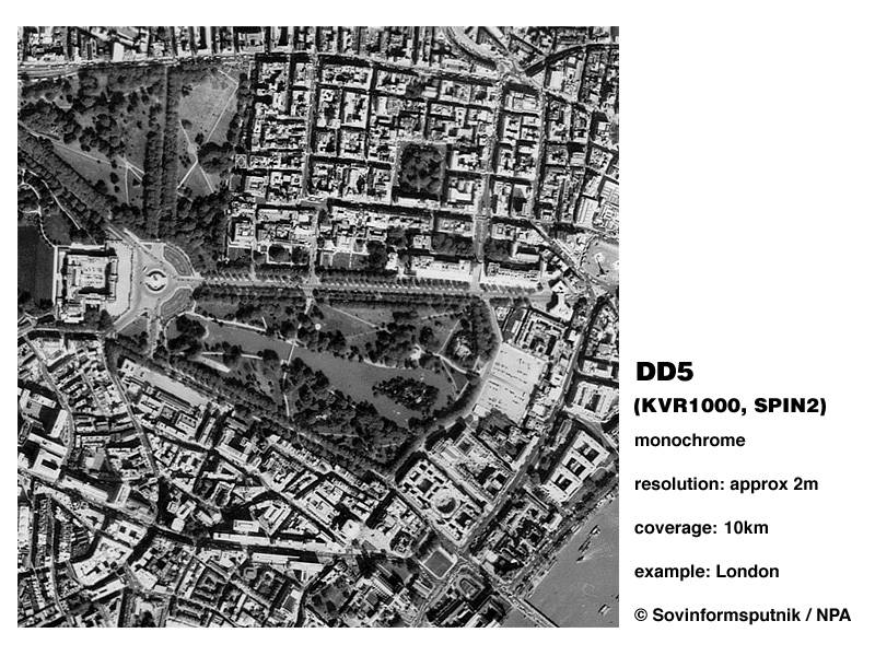
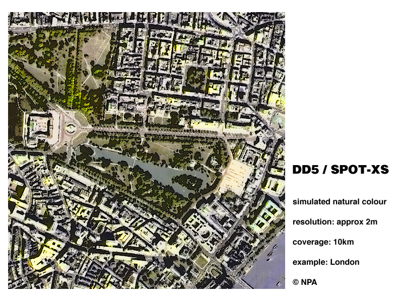
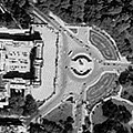
DD5 2m
Buckingham Palace,
London, UK |
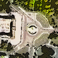
DD5/SPOT XS 2m
Buckingham Palace,
London, UK |
Highest Commercial Resolution
|
|

|
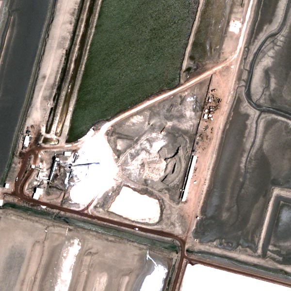
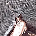
DigiGlobe 67 cm
Pier and depot,
Gujarat, India |
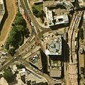
DigiGlobe 67 cm
Industrial site,
Gujarat, India |
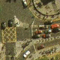
Aerial Photography
|
|
|
Air Photo 2m
Thames River,
London, UK |
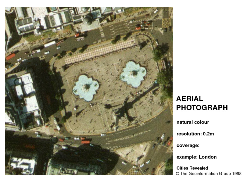
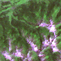
Air Photo 20cm
Trafalgar Square,
London, UK |